8,776 results for
Map usa
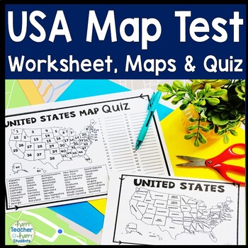
United States Map Quiz & Worksheet, USA Map Test w/ Practice Sheet, US Map Quiz
United States Map Test: Easy-to-read US Map Quiz and Practice Sheet will help students learn to correctly identify and locate all 50 states. This product also includes a labeled USA Map in full & half-page design and blank USA map for practice. Learning how to correctly identify all 50 states on a map of the United States is a critical skill for students of all ages.US Map Quiz (US Map Test) is ready to print-and-go to test knowledge of the USA Map and 50 states. This map of the United State
Grades:
2nd - 8th
Types:
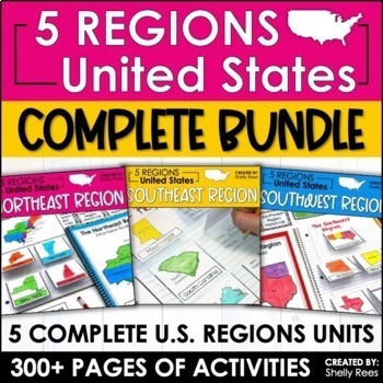
Regions of the United States Worksheets Maps & Activities 5 US Regions
Your students will love learning about the 5 Regions of the United States with this complete bundle. The hands-on approach to learning includes high-interest interactive notebook foldables, map booklet, memory match game, bulletin board, and unit test! Students will master the US Regions in no time at all with this helpful resource!By buying this bundle, you are saving 20% off the total price of the 5 individual packets!Please take a look at the PREVIEW to get a better idea of everything include
Grades:
3rd - 6th
Types:
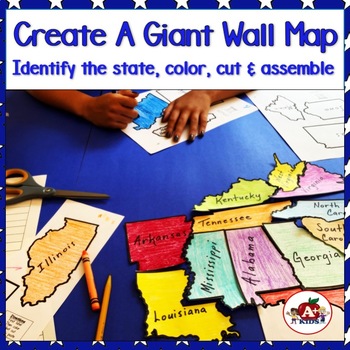
Giant Map of the United States Puzzle After State Testing Activities
Students use this engaging puzzle activity to create a giant United States map. Give your students a fun, engaging hands-on experience to become more familiar with America's 50 states and how they fit together.Students need to identify unlabeled state puzzle pieces by observing their shapes and then arranging them to construct a large US map. An index is provided to limit choices to only a few. The completed map is approximately 28" x 42".**The video (above) was created using the pieces for th
Subjects:
Grades:
Not Grade Specific
Types:
Also included in: The Bundle of America's 50 Great States
US History Interactive Notebooks United States Activities 13 Colonies Maps Units
{BOTH DIGITAL & PRINT}**Important Update - Each unit now includes additional, colorful Digital Google Slides Interactive Notebook Versions for Google Classroom! Designed for Distance Learning if Needed | Crash CourseThe United States History contains the following units: Ancient & Native Americans, Early Explorers & Trade Routes, Relations Between the Colonists & Native Americans, The 13 Colonies, American Revolution and Events Leading up to the War, The Declaration of Independen
Grades:
3rd - 6th
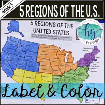
5 Regions of the United States Map Activity (Print and Digital)
Students will label and color a map to help them learn and remember the states in each of the 5 regions of the United States - Northeast, Southeast, Southwest, Midwest, and West. Since state standards vary on the region placement of Delaware and Maryland (some place them in the Northeast while others place them in the Southeast), this download now includes both variations.Version 1 (Delaware and Maryland in the Southeast):Northeast (Connecticut, Maine, Massachusetts, New Hampshire, New Jersey, N
Subjects:
Grades:
5th
Types:
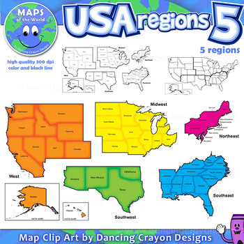
Regions of the USA: Five Regions - Map Clip Art
Regions of the USA: Five Regions - Map Clip Art
.............................................................................................
Please check the regions in this set before purchase. We offer a choice of THREE different US Region Map Sets:
USA divided into FOUR regions / NINE divisions (as set out by the United States Census Bureau)
USA divided into FOUR regions / TEN divisions (as taught in some states)
Please read on for more information about THIS region set:
............
Grades:
3rd - 12th, Staff
Also included in: Maps of the World Clip Art - MEGA-BUNDLE
US History Curriculum Activities 5th Grade United States Map Geography Projects
This Upper Elementary and Middle School Complete US History Curriculum Resource has over 1,205 pages/slide of material covering Ancient American | Native Americans, The Age of Exploration, Relations Between Colonists and Native Americans, The Original 13 Colonies, Events Leading up to the Revolutionary War, The American Revolution and Declaration of Independence, The Constitution and Articles of Confederation***UPDATE: Now contains curriculum binders and sample classroom pacing guide!**UPDATE: N
Grades:
4th - 7th
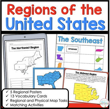
5 Regions of the United States Matching Vocabulary Map Skills Digital and Print
Use these engaging, hands-on map skills activities to teach your students about the northeast, southeast, midwest, southwest, and west regions. This product includes information about each regional, map skills, and activities that help students learn about the US Regions. Easily print and go or upload to Google Classroom!Stop spending hours searching for Social Studies resources. This activity is the perfect for the busy classroom. You can use these activities in your whole group social studi
Subjects:
Grades:
3rd - 5th
Types:
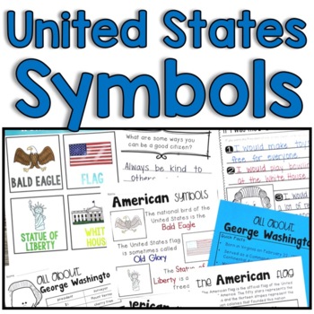
United States of America Maps, Symbols, Flags and More
Teaching United States symbols, maps, flags and presidents is always fun, but it can sometimes be overwhelming to fit it all in. This unit makes it easy to click, print and teach! Enjoy one easy download of everything your students need to learn historical facts about the United States. Students will also benefit from the differentiated writing pages for explaining the American symbols. They provide struggling students the confidence they need to grow! Here’s what you’ll get: 10 Picture/Vocabula
Subjects:
Grades:
K - 4th
Types:
Also included in: Top 5 Social Studies Best Sellers
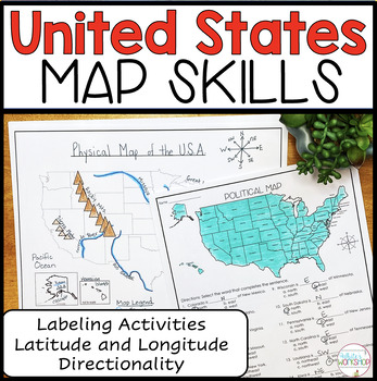
United States Map Skills | Latitude and Longitude | Compass Rose
Engage your students in U.S. map skills which include labeling political, physical, and regional maps, identifying cities and states on a map using lines of latitude and longitude, and comparing locations using cardinal and intermediate directions. These map skills are perfect for small groups, centers, whole group social studies projects, homework, and substitute plans. ⭐️ PDF and Google Slides formats ⭐️Follow my White's Workshop store for more great resources! ❤️ Includes:PDF Version 8 Co
Subjects:
Grades:
3rd - 5th
Types:
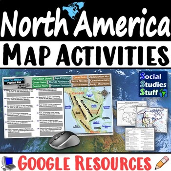
Geography of North America Map Practice Activities | USA Canada Mexico | Google
End the cycle of bored students copying from books to label maps! Your classes think critically with these digital, interactive, geography activities. First, students answer questions about North America by analyzing various physical & political maps of the region. Then, a drag & drop challenge assesses their learning of the locations. This resource also includes a printable worksheet that takes labeling maps to the next level! They create a map of the United States, Canada, and Mexico u
Subjects:
Grades:
5th - 12th
CCSS:
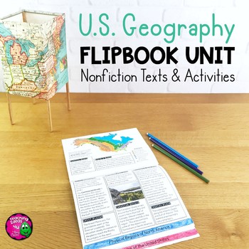
United States Geography Unit: Informational Texts, Maps, & Activities US Regions
U.S. Geography Integrated Unit for Upper ElementaryThis integrated unit of study focuses on United States geography and related skills. It includes 8 lessons and activities, including informational texts and a summative test. These reading passages can be used for close reading and reading comprehension, as well as social studies content.Everything needed to teach the material is included - just add pencils and crayons! Lessons included are:1. Latitude & Longitude2. Relative & Absolute
Subjects:
Grades:
4th - 6th
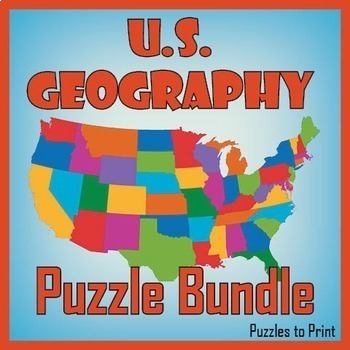
No Prep US Geography - Regions of the USA Word Search & Map Worksheet BUNDLE
Use this bundle of fun puzzles to help students learn the names and locations of all fifty states. Each US geography worksheet concentrates on one of five regions and includes three activities. First students must unscramble the names, then place them on the map, and finally find them in a word search.We've divided the states into the five following regions: ✔ Western ✔ Mid-Western ✔ North Central ✔ North Eastern ✔ South EasternUse these worksheets to review US geography with th
Subjects:
Grades:
4th - 7th
Types:
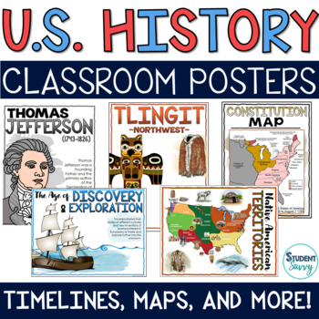
US History Posters Timelines Maps American History Bulletin Board United States
This bundled resource contains 190 posters covering Native American History, Explorers & Age of Exploration, Relations Between Colonists and Native American, 13 Colonies, American Revolution, Revolutionary War and Declaration of Independence, and the Constitution Maps and Timelines Included! These posters are perfect to display in your classroom if you are teaching US History | American History Aligned with US History Complete CurriculumReady-to-Print PDF files & Png picture files includ
Subjects:
Grades:
4th - 7th
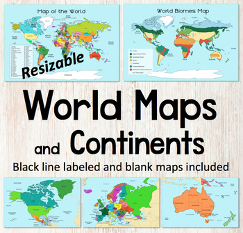
World Map and Continents Maps - World Biomes Map - USA Map - Color and Blank
This is a set of clear colored and black-line maps to use in your lesson preparation and teaching resources. Each of the twelve maps is provided in three versions1. Labeled color2. Labeled black -line3. Blank black-line The maps are orientated as rectangular landscape pages in easy to use PNG files. They feature the land on a blue water background. The images can be inserted into your documents and resized or clipped to focus on certain areas. The maps will remain clear when pulled out to 40
Subjects:
Grades:
Not Grade Specific
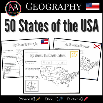
50 States of the USA Activity Bundle (Map and Flags)
Try it on EASEL! This resource includes a ready-to-use interactive activity students can complete on any device. This “50 States of the USA” activity includes fun worksheets for all 50 states, including Washington DC. Each activity aims to build and strengthen the following skillsets for Pre-K thru 1st Grade students.1. Trace it—Penmanship.2. Find it—Critical thinking and problem-solving.3. Color it—Creativity and fine motor skills. The activities also help familiarize young students with the US
Subjects:
Grades:
PreK - 2nd
Types:
Also included in: USA State Symbols and Maps MEGA Bundle | Geography
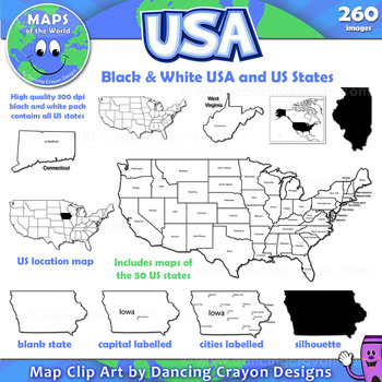
Maps of the USA and US States: Black and White Bundle
A practical set containing our black and white USA maps and US States maps.
260 images of the USA and individual US states in black and white line art. Perfect for creating worksheets and printables.
If you are looking for both color and black and white please see our USA maps bundle:
Click here for USA Map Bundle.
This clipart map set contains the following commercial use graphics:
- Black and white line art maps of all 50 US states in the following styles:
- Blank
- capi
Grades:
3rd - 12th, Staff
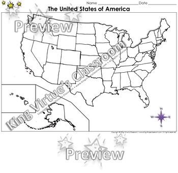
The United States of America Map - Blank - Full Page - King Virtue's Classroom
The United States of America Map - State Lines - Blank - Full Page - King Virtue's ClassroomWorking on your unit on Map Skills? This map is the perfect resource for you! Use it to review The United States of America with your students.This set includes:1 map sheetEnjoy!:)Copyright © King Virtue’s Classroom • www.kingvirtuesclassroom.com • All rights reserved.
Grades:
Not Grade Specific
Types:
Also included in: Social Studies MegaBundle - King Virtue's Classroom
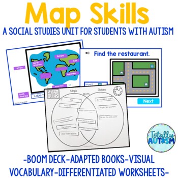
Map Skills Unit | Identify United States | Cardinal Directions | Special Ed
This Map Skills unit is jam packed with differentiated materials to teach hard concepts such as identifying parts of a map, finding locations on a map, identifying your state and country, significant U.S. landforms, identifying the Great Lakes, labeling the continents and oceans, the equator, and climate.This unit now includes digital task cards from Boom Learning! Click here to see a preview.20 digital task cards included: "What are Maps and Globes?" adapted book, label parts of a map (title,
Grades:
1st - 2nd
Types:
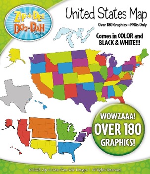
United States Map Clipart — Includes States, Regions, and Great Lakes!
This clip art graphic set of United States Maps would be the perfect addition to your geography or social studies resource! Use these in your worksheets, task cards, or quizzes. These would be a great set to use to help teach states and their capitals. They could also be used to teach the United States regions.
You will receive 193 clip art graphics that were hand drawn by myself – All 50 States in 3 different color choices, 10 United States Maps, All 7 United States Regions (grouped and se
Grades:
PreK - 12th
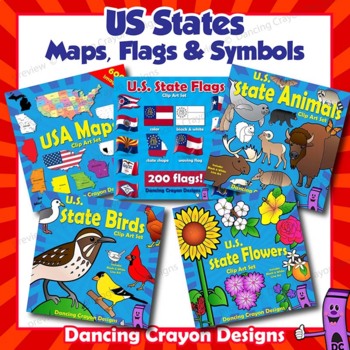
US State Symbols, Flags and USA Maps Clip Art BUNDLE
USA State Symbols, US Flags and Maps Clip Art BUNDLEGREAT VALUE!This is a set of clip art containing the state animals, birds and flowers for the 50 states of the USA along with the state flags and maps of the USA. Please note: Some states share the same bird / animal / flower. Images are included in both color and black and white.This clip art pack contains the following commercial use images:US State Flags:Clip art flags for the 50 states of the USA in four styles:colorblack and white line a
Grades:
PreK - 12th, Higher Education, Adult Education, Staff
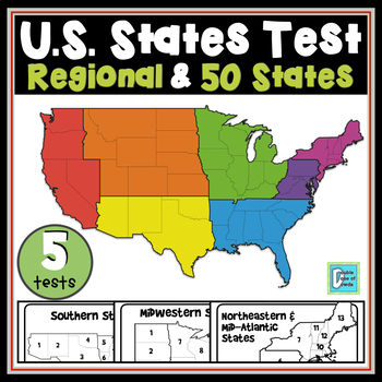
United States Map Tests - 4 Regions & 50 States
State Location Map Tests includes individual 1-page assessments for each of the 4 regions (Southern, Western, Midwestern, and Northeastern & Mid-Atlantic). It also includes a 2-page assessment for all 50 states. Answer keys are included for all assessments.All 50 States are included. Check out the preview and see the quality of this product.You can buy this along with all of our other States and Capitals products as part of our United States Maps & Capitals Bundle. Save more than $10 by
Subjects:
Grades:
3rd - 5th
Types:
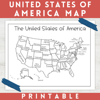
Black and White Map of the United States of America | Coloring Page
This United States of America Map is perfect for your students, homeschoolers, or your own kids when studying geography. These printable USA maps can be used as coloring sheets and classroom decor. This black and white map of the United States of America features each of the 50 states accurately labeled. This map is great to print out, laminate, and hang up in a minimalist or neutral classroom. This product also can serve as a coloring page for students that are learning about the United S
Grades:
Not Grade Specific
Types:
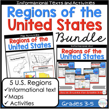
Regions of the United States Maps and Reading Passages Comprehension Bundle
Connect your Social Studies curriculum to your ELA block. Your students will enjoy learning about the Northeast, Southeast, Southwest, West, and the Midwest Regions of the U.S. with this student-friendly informational packet. Students will learn about the landscape, food, climate, natural resources, animals, and the geography of the United States Regions.**This Regional Bundle is similar to Regions of the United States Informational Text Bundle, however this bundle includes a hands-on regional m
Subjects:
Grades:
3rd - 6th
Types:
Showing 1-24 of 8,776 results

